Understand the environment.
Location, asset and operational information in context for facilities and infrastructure.

People. Technology. Possibility.
Integrated technology.
A clearer perspective.
CEFO Technologies brings software, geospatial intelligence and operational systems together, so people can understand their environment, coordinate their work and decide with confidence.
Explore the capabilities that connect your digital systems to the physical world.
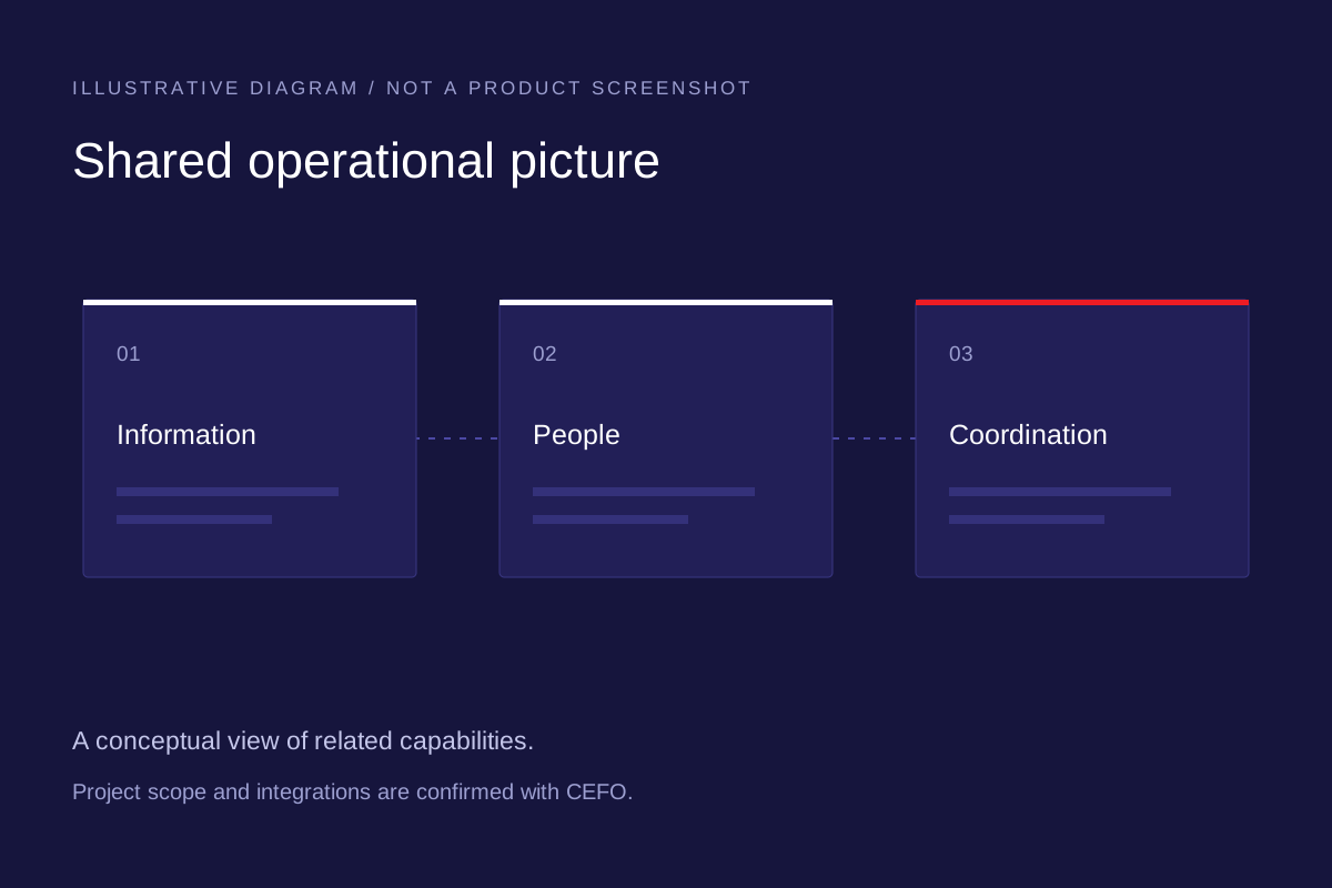
Platform development and integrated software connect information, workflows and teams. Build a clearer operational picture with systems designed around the people who use them.
CEFO uses Esri ArcGIS for mapping and spatial analysis. Explore five of the analyses we deliver.
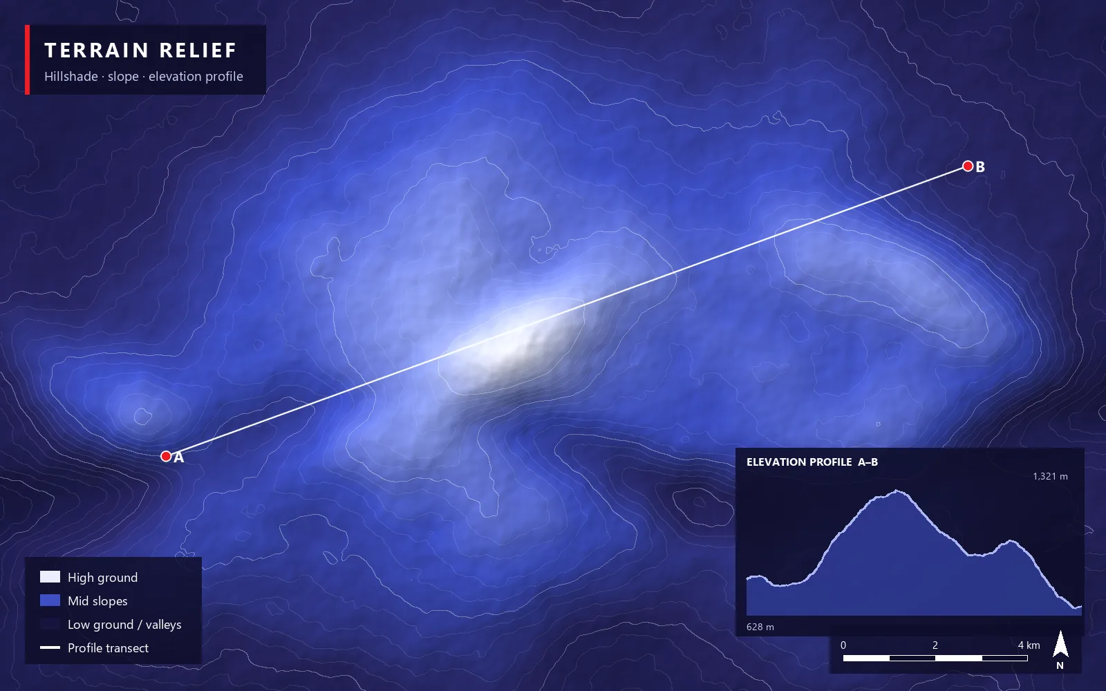
Hillshade, slope and elevation profiles reveal the shape of the ground: high ground, gradients and the lie of the land along any route.
ArcGIS · Hillshade · Slope · Aspect · Elevation profile
View full size ↗ArcGIS is a trademark of Esri.
See our real GIS work ↗We connect technical capability with the realities of day-to-day operations, especially for teams in complex, high-risk environments.
The people, the context and the work.
Systems shaped around your environment.
Software, GIS and operations rooms in one workflow.
Teams confident from day one.
Ongoing support and governance.
Visit the dedicated website for CarryAir, aircraft and aerial applications.
Location, asset and operational information in context for facilities and infrastructure.
Assessment, integrated surveillance and protective planning, connected.
Shared information, clear workflows and training for complex environments.
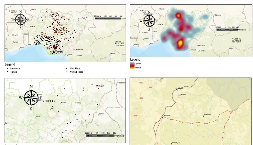
Location points, density patterns and routes mapped by CEFO Technologies, showing where activity concentrates and how places connect.
News, project stories and insights from the CEFO Technologies team.
From assessment to integration and support, expertise for the whole operational environment.
Security assessments, 3D modelling and threat simulation support the design of protective environments for people, facilities and infrastructure.
Integrated CCTV, access control and extra-low-voltage systems connect the physical environment with operational oversight. ELV work includes collaboration with Redleaf Solutions Ltd.
Intelligence reporting and web intelligence services help organisations understand risks and inform protective planning.
Cryptographic asset discovery and algorithm remediation support preparation for evolving security requirements, including post-quantum readiness.
Liquid cooling designs for high-density computing, network infrastructure and physical enabling works support the systems behind day-to-day operations.
Security training, ongoing support and governance help teams use their systems in context, with an understanding of the African operational landscape.
With a conversation about your team, your environment and the challenge you want to solve. Each project starts with your requirements.
Integrations are scoped for each project. Tell us which platforms and data sources you rely on, and we can discuss how they could join a shared workflow.
Yes. Security training, ongoing support and governance help teams use their systems in context.
The types of analysis we deliver with ArcGIS: terrain relief, dead ground, movement traces, incident maps and AI pattern analysis. The selected GIS work shows real mapping by CEFO Technologies.
Tell us about your team, your environment and the challenge you want to solve.